Total Lunar Eclipse - Planning
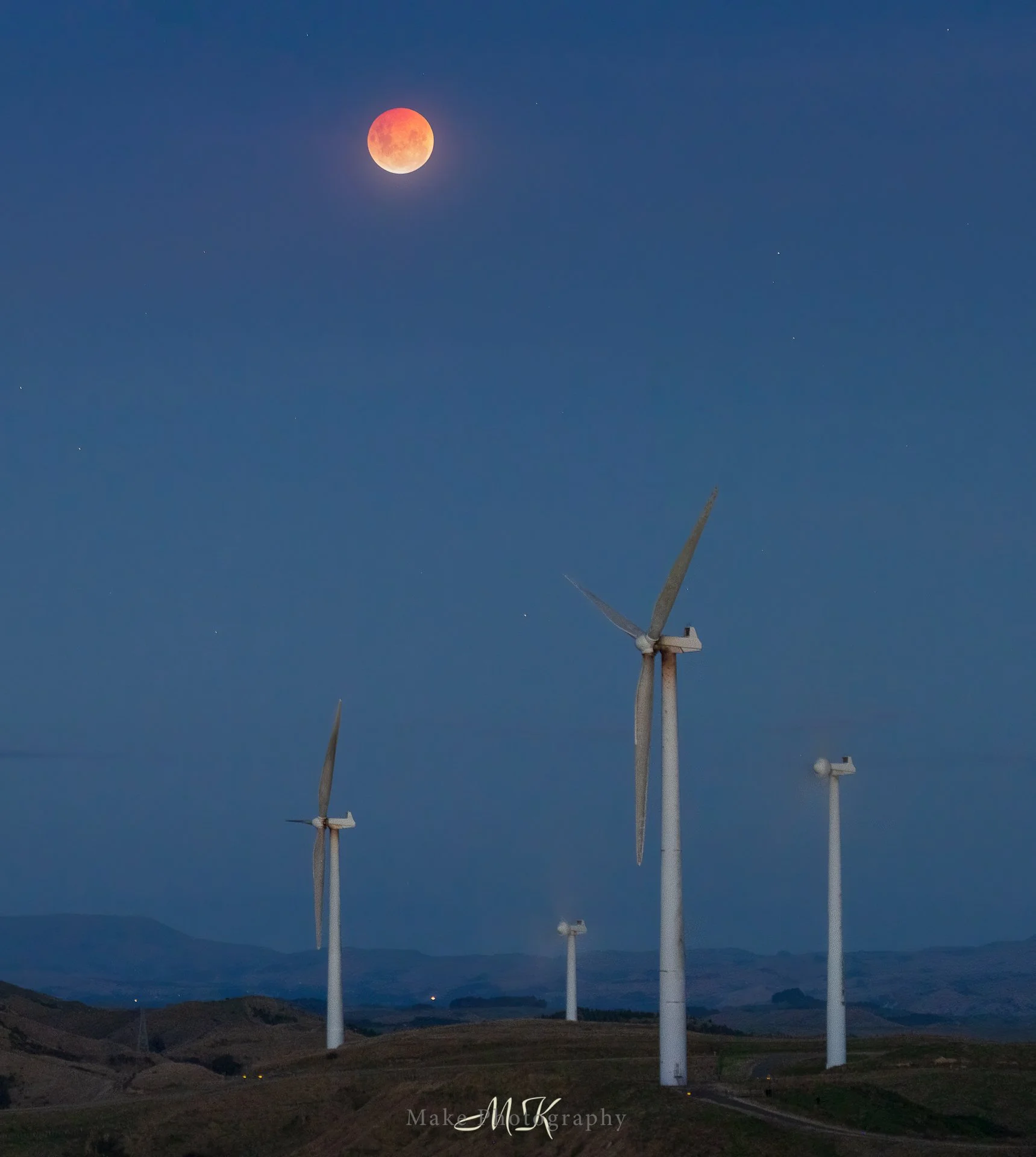
Blood moon rises over Te Apiti Windform, Manawatu
By now you will have seen many pictures of the eclipse and how it looked from both the earth and (for the first time ever) from the moon. In this post I want to take a slightly different approach and document how I planned the shoot, what I aimed for and how I could approach a similar event next time.
In early March, like many others, I became aware of the lunar eclipse that would grace our skies. Originally I had heard that all we would see in New Zealand, would be the end of the eclipse. But I soon found out that this was incorrect and instead we would get to see the peak of the eclipse. But and this is a very big but, the peak of the eclipse would be soon after sunset. This raised an interesting question, how visible would the moon be in the shadow of the earth? Would this afford us an opportunity to capture the blood moon in a lit landscape?
So time for some research! Question one, how was the timing for the eclipse when compared to the twilight times for my region and where would I find out that information? The answer to this was easier than I thought, after reading a comment on a post I saw that https://www.timeanddate.com/eclipse/ would give me a table of the timings for the eclipse in local time, simply click on the eclipse in the list provided:
The next question is how does the table above relate to the sunset that will be happening at the same time? Once again this was easy and provided by the same website at https://www.timeanddate.com/astronomy/new-zealand/palmerston-north
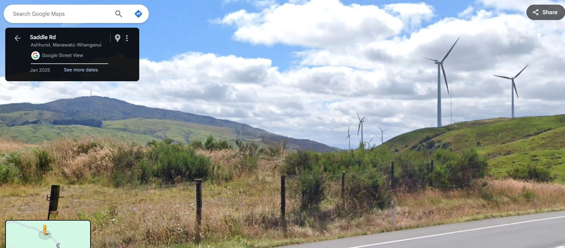
Now the question of where? After checking the Windy application (https://www.windy.com/-40.356/175.611?-39.697,175.248,8,p:cities) I could see that the ranges offered the best hope of a clear sky. In particular the saddle road holds some good clear views east, where the moon would be rising, and the location below offered a good space to work from. This is where local knowledge pays off and failed attempts can be the foundations for success. This was a location I used to get this photo https://www.makephotography.net/landscape?itemId=w2sndiowwutxfusha6mbdd2tbq69du
An image from Google Maps of an idea I had
Enter Planit Pro, an app which now has an Android offering. Using the VR viewfinder on the eclipse tab (where you can select the actual eclipse in question), I was able to look at the location as if I was already there and see both how it might look and the lens I would need for the composition I had in mind. Mind blowing to be frank.
VR viewfinder on the eclipse tab, Planit Pro (Android version)
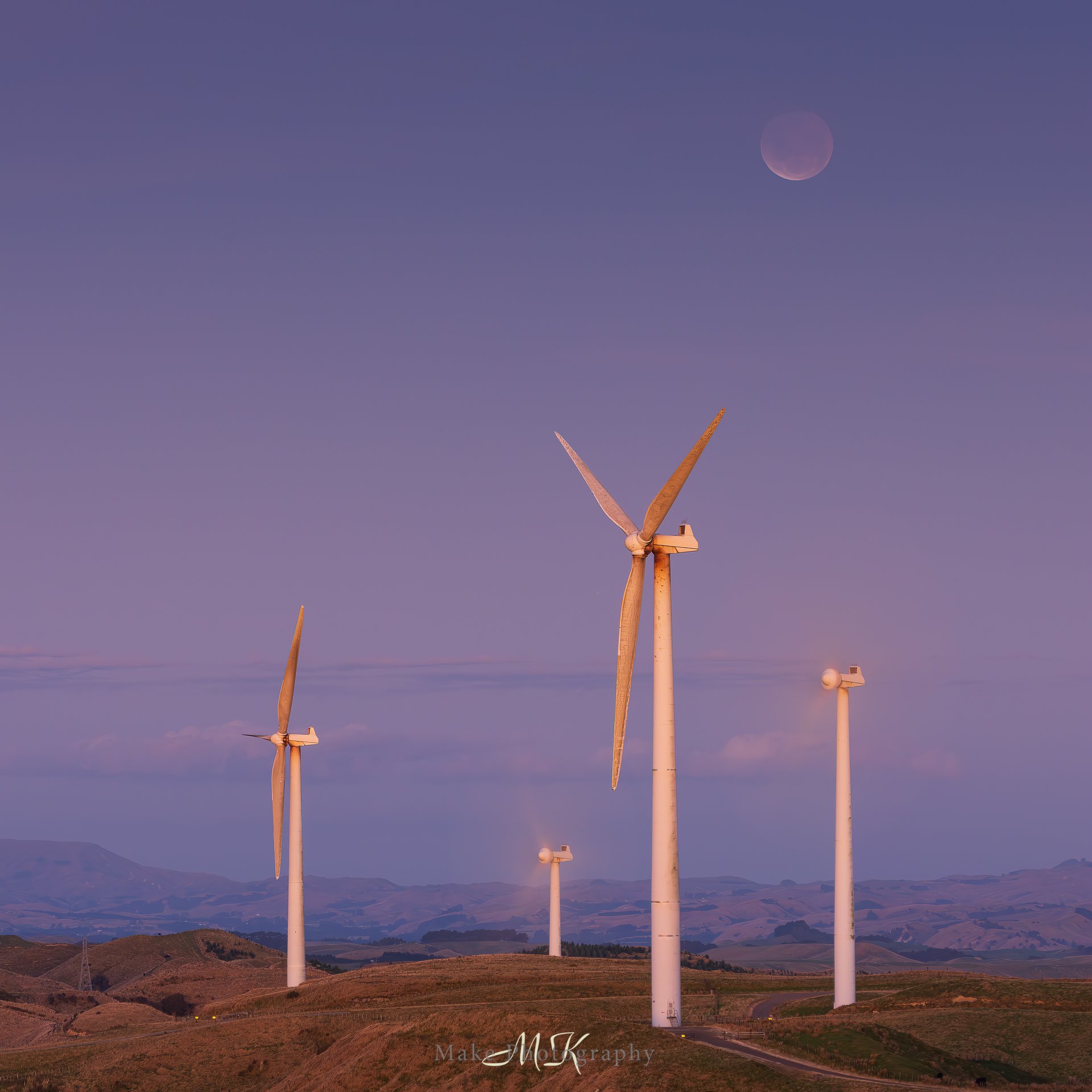
So how close was the eventual image, to the one I saw when planning this, you be the judge! I hope this helps you and future me when planning the next outing. Thanks for reading and as always, I wish you good light.
Eclipsed moon as it rises above the Te Apiti Windfarm, Manawatu.

